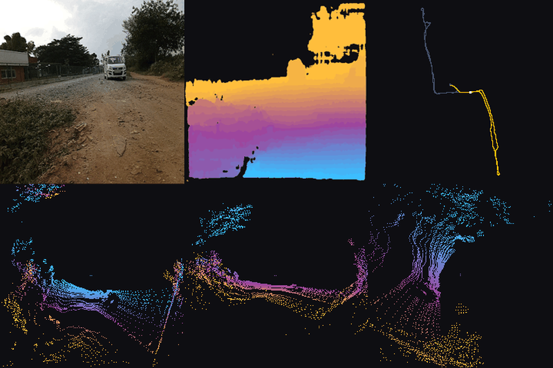
Construction-Site Traversability#
Closed-loop recordings from an autonomous mobile robot on two active
construction sites, as native .mcap episodes.
A tracked mobile robot drives through the sites carrying an OAK-D colour and range camera, a Livox 3D LiDAR, two inertial units and a u-blox GNSS receiver. A LiDAR-inertial odometry estimate and the wheel encoders are recorded alongside the sensors, and the runs revisit the same ground, which is what makes them useful for loop closure and for traversability work.
Four sessions and 105 minutes of driving over 9,760 m of ground, holding 62,995 colour frames, 62,931 range frames, 62,995 LiDAR sweeps carrying 1.26 billion points, 3.15 million inertial samples and 4,986 satellite fixes.
Note
The recordings were made on working sites and contain site personnel and vehicles in the camera streams. They are republished unchanged from a public release.
Details
Dataset name:
construction-site-traversabilityDataset source: https://huggingface.co/datasets/Voxel51/Construction-Site-Traversability
Dataset size: 18.14 GB
Dataset license: CC BY-NC 4.0
Tags:
multimodal, mcap, robotics, lidar, depth, gnssSupported splits:
N/AZooDataset class:
ConstructionSiteTraversabilityDataset
Example usage
1import fiftyone as fo
2import fiftyone.zoo as foz
3
4dataset = foz.load_zoo_dataset("construction-site-traversability")
5
6# The longest run
7view = dataset.sort_by("duration", reverse=True)
8
9session = fo.launch_app(dataset, view=view)
fiftyone zoo datasets load construction-site-traversability

fiftyone app launch construction-site-traversability